We are transforming Remote Sensing and Geospatial Data into Actionable Insights for your
Decision Making I Sustainable Future Growth I Policy Forming I Future Climate Prediction
Where Our Expertise Meets Accessibility in Geospatial Solutions
Our expertise extends to environmental monitoring, disaster management, and more, all geared towards supporting your digital transformation journey for a sustainable future.
Who We Are
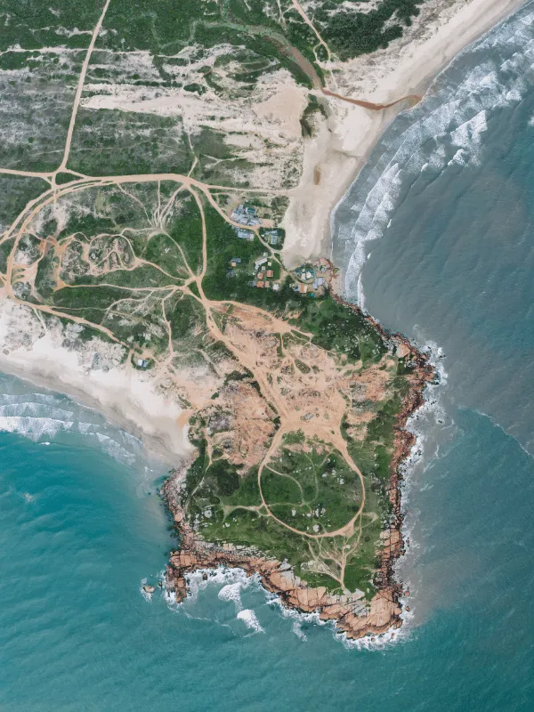
We are the Remote Sensing & Geospatial Data Analytical Expert
At Navilan Solutions, we’re passionate about unlocking the power of geospatial data. We combine cutting-edge remote sensing techniques with advanced Geographic Information Systems (GIS) to deliver comprehensive geospatial solutions. Our mission is to empower your success. We translate complex location data into actionable insights, fueling informed decision-making across various industries.
We tailor our solutions to your specific needs, offering a range of services including thematic mapping, spatio-temporal analysis, and spatial data modeling.
We address global challenges like environmental monitoring and disaster management, with a commitment to sustainability.
We leverage cutting-edge technology to develop user-friendly web and mobile applications, providing interactive access to geospatial data.
We tailor our solutions to your specific needs, offering a range of services including thematic mapping, spatio-temporal analysis, and spatial data modeling.
We are the remote sensing & Geospatial Data Analytical Expert
At Navilan Solutions, we’re passionate about unlocking the power of geospatial data. We combine cutting-edge remote sensing techniques with advanced Geographic Information Systems (GIS) to deliver comprehensive geospatial solutions. Our mission is to empower your success. We translate complex location data into actionable insights, fueling informed decision-making across various industries.
Our team boasts extensive experience in remote sensing, GIS, spatial analytics, and data modeling.
We address global challenges like environmental monitoring and disaster management, with a commitment to sustainability.
We leverage cutting-edge technology to develop user-friendly web and mobile applications, providing interactive access to geospatial data.
We tailor our solutions to your specific needs, offering a range of services including thematic mapping, spatio-temporal analysis, and spatial data modeling.

Lorem ipsum dolor sit amet, consectetur adipiscing elit.
Lorem ipsum dolor sit amet, consectetur adipiscing elit.


Navilan Solutions
Research & Development
Navilan Solutions pushes the boundaries of geospatial science. Our research and development focus on:
- Mapping Disaster Risks: We leverage remote sensing to map natural hazards like floods, droughts, and wildfires, empowering proactive risk management.
- Land Cover Dynamics: We track land-use changes over time, providing crucial insights for sustainable development.
- Advanced Detection Techniques: We pioneer cutting-edge methods by fusing optical and radar satellite data, unlocking new possibilities in remote sensing.
- Spatial Analysis Expertise: We combine remote sensing with GIS for powerful spatial analyses, informing strategic decision-making.
This relentless pursuit of innovation ensures we deliver the most advanced geospatial solutions for a brighter future.
Address:
Bonn, Germany
Email:
info@navilansolutions.de
Call:
+49 228 81289519